")
")
Open Data
OGC ServicesThe network services provided by Sigrian allow the use of services in compliance with OGC standards and to download them with the relative licenses, proposing special tools for their transformation (conversion).
The use of these services is carried out through a GIS client (such as the Open source Qgis), for which it is used to refer to the relevant manuals.
WMS Services
What is a WMS consultation service?
A consultation service allows “to perform at least the following operations: Visualization, navigation, variation of the display scale (zoom in and zoom Out), variation of the portion of territory framed (pan), overlap of the set of Searchable spatial data and visualization of the information contained in the legends and any relevant content of the metadata “(Directive 2007/2/EC).
The INSPIRE guidelines for the implementation of consultation services suggest that this service is implemented by using the standard ISO 19128 – Web Map Service (WMS) 1.3.0.
The WMS (Web map Service), generated according to the standard, delivers a map that is the representation of spatial information in the form of a digital image file in PNG, GIF or JPEG format: The map Therefore, as an image, cannot be edited or spatially Analyzed by end users.
However, the use of image formats that support the transparent background allows overlapping of different maps that can be requested by different servers.
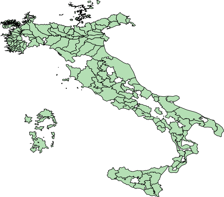
Irrigation bodies
Http://10.230.0.61:8080/geoserver/sigrian/enti_irrigui/wms
WFS Services
What is a WFS service?
Irrigation bodies
Http://10.230.0.61:8080/geoserver/sigrian/enti_irrigui/wfs